So this has been a lot of work but I now have usable aerial photos of Christchurch, Linwood and Opawa. As I noted previously I chose to extend the limit of the previously drawn maps from Wilsons Road out to the Opawa bridge. This means the total length covered is from just under 9 km, to 11.75 km – a total of nearly 4 km. All the tiles have been rendered (a total of 29, which is a lot considering how long it takes the computer to generate each one), but one needs the mask to be altered and then re-rendered, and I’m looking to add several more around the edges.
With all this work the Otago Central maps have had to wait except for one post about Galloway. Now that I have the Christchurch maps I will be working on them at the same time as carrying on with the Central and working up to the next station at Chatto Creek which shouldn’t be a lot of work, and then further onward. In fact this section of the Central maps shouldn’t take long to do.
Here is some of the Christchurch stuff that hasn’t been published so far.
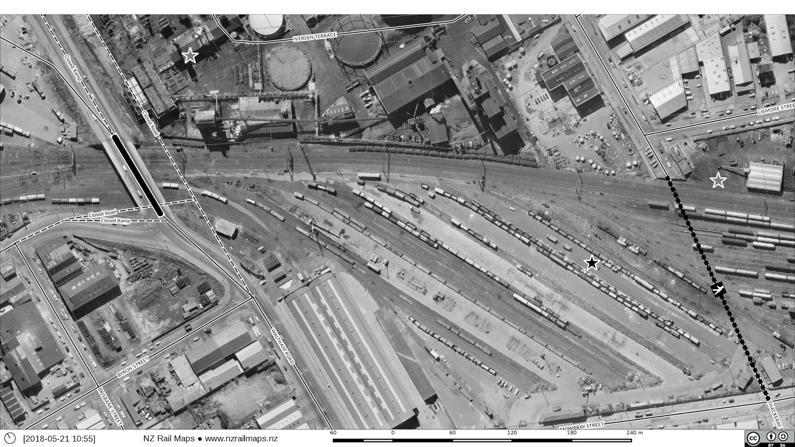
Waltham Bridge (as it was in 1970), part of the gasworks, E shed and the freight sidings.
The car depot building and carriage sidings. With the demise of many passenger services the sidings to the right made way for the Daily Freightways shed, which is now occupied by Southern Demolition.
Linwood station and part of Loco. The station was removed when passenger trains to Lyttelton ceased, not too many years later.
The main Loco buildings adjacent to Ensors Road crossing.
Opawa station and the bridge. There was a footbridge alongside the railway structure for easy access to the station. This is another passenger-only station that is long gone, and the building through of Brougham St (1990s?) has altered the landscape significantly since then.


