
Greytown was a small urban station at the end of the 5 km Greytown Branch, which came off the Wairarapa Line at Woodside (per the previous post about Woodside Station). For more details of the branch see that post. Greytown was briefly the railhead of the Wairarapa Line and the branch was chained as the main line originally. This is indicated by the presence of former milepegs at 50, 51 and 52 miles, plus the usual halves and quarters. These are marked on the Greytown Branch maps as well as the later Greytown Branch milepegs (1-3 miles).

Approaching Greytown from Woodside this is what the entrance to the yard looked like. Apart from the facilities shown, Greytown also had stockyards. The aerials are not clear enough to confirm the exact location, or any connecting tracks, but they most likely appeared at the left hand side of this map. Apart from the yard we can see the engine shed and watering/coaling facilities.
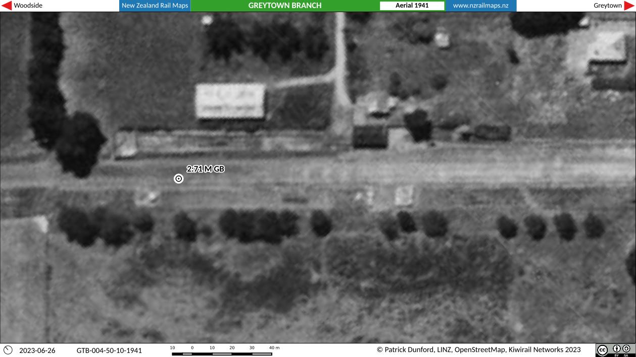
As above. The layout of what could have been stockyards (above the label “2:71 M GB”) is apparent. The engine shed was a small single stall structure for the Greytown locomotive. The large shed on the left has no known significance to any railway operations although it may have had something to do with stock handling.
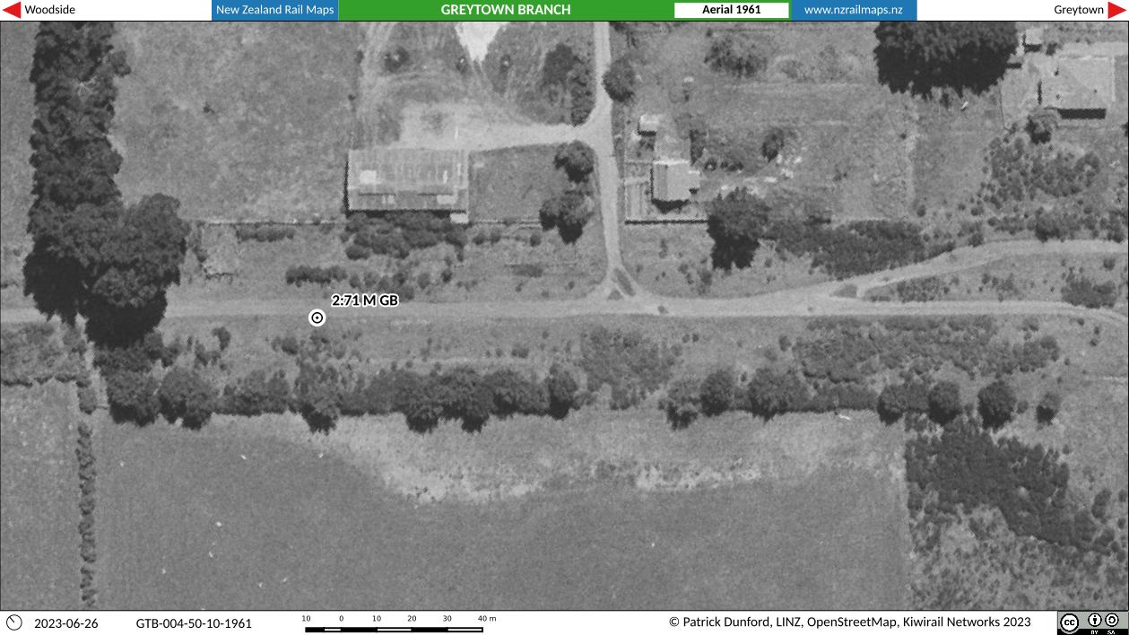
1961 view of Greytown. The yard is now completely cleared, 8 years after the closure of the branch. There are no known remnants left at this end of the yard today.

Diagram of the main part of the yard. Of note, the station building is located at 3 miles. All known records of the Greytown branch give the mileage for the station as 2 miles 71 chains. It is however clear that different measurement standards were used on some of the early lines where the first set of points off the mainline was the location that was measured for a station. In the present day and for many years prior, the location measured for a station is the location of the station building or the centre of station limits; using these the station is shown at its actual location of 3 miles and it is necessary to show it this way because a 3 mile peg needed to be put in and this coincided exactly with the station location marker. We can also see the goods shed and loading bank in this view. Both are still on the site today, but the station building was taken to Woodside to become the goods shed. The end of line is marked with both its Greytown Branch and Wellington Woodville Railway distances.
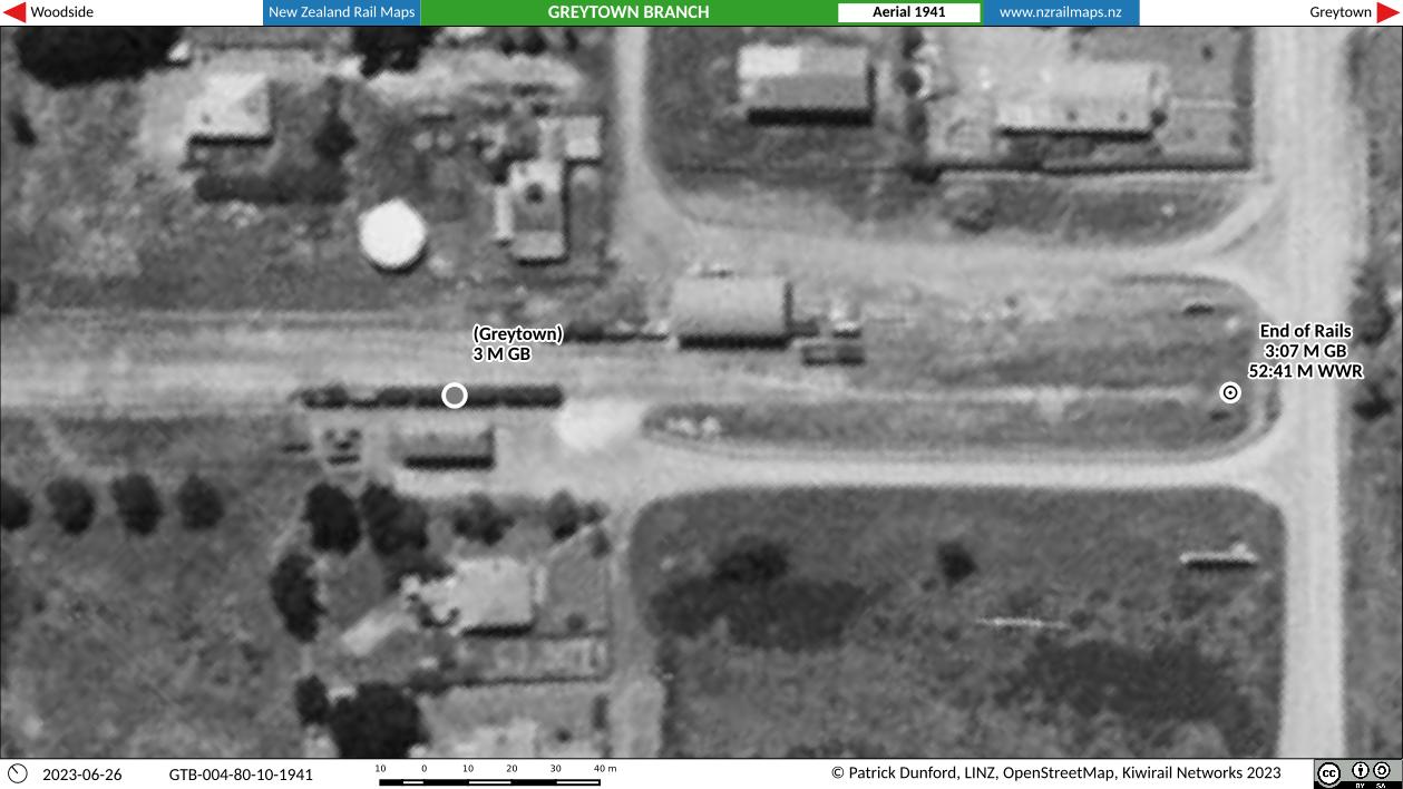
1941 aerial of the yard. A train is standing at the station platform and various wagons are around the yard.
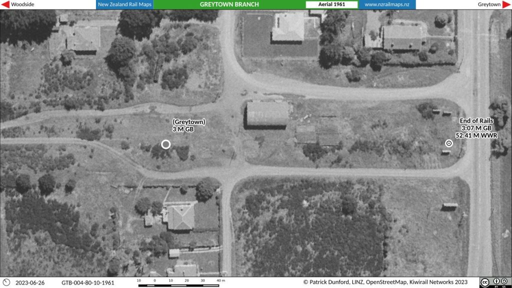
1961 yard aerial showing the goods shed and loading bank remaining. It is thought that the houses in the lower part of the map were probably railway houses but no information has come to hand confirming this.
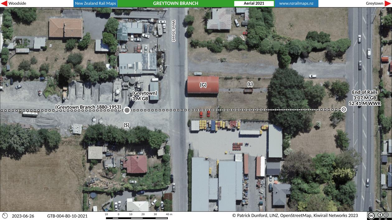
2021 view of Greytown yard. Restored goods shed and loading bank, along with track that was laid between the two as part of the restoration project.