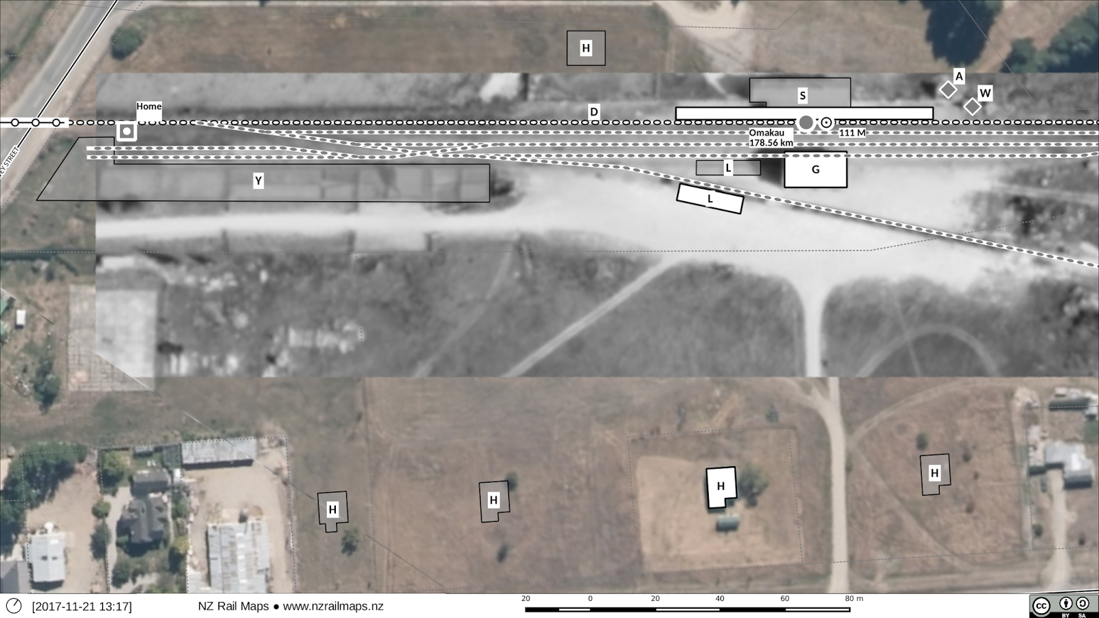
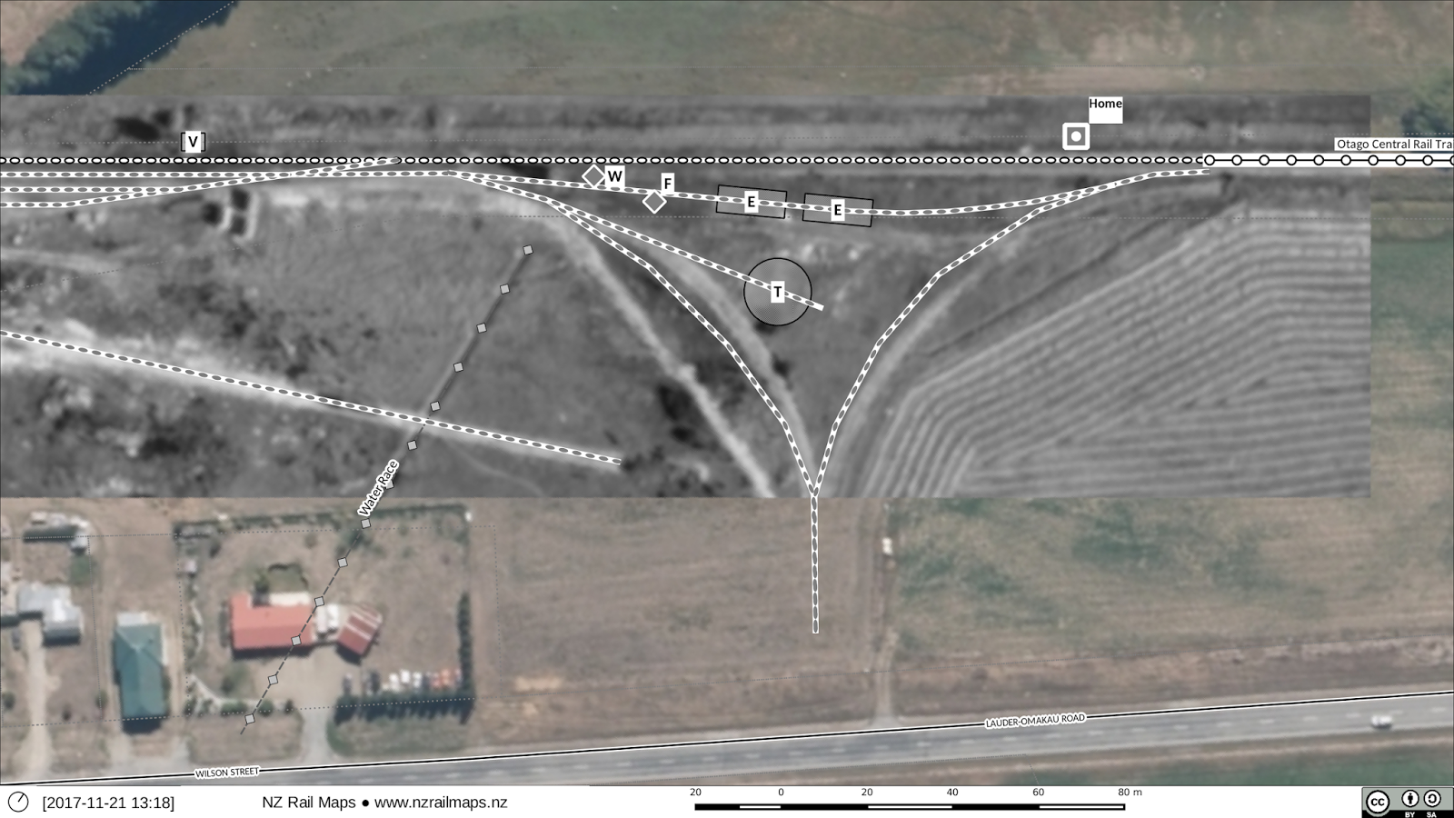
So here are two updated pictures of Omakau. It is just a tidyup with a new aerial image.
I have decided not to change any of the other aerials for Alexandra-Clyde as it will take too long to do. Those maps were very time consuming because they documented multiple changes in yard layouts at the various stations. Instead I will have the aerial photos put into the Major Stations photo album.
So I will get an aerial for Chatto Creek, Oturehua and Wedderburn as part of Part 2. Some of these aerials are coming out quite blurry, unfortunately that seems to be a limitation of Gimp, which should really be preserving the quality of the original image but doesn’t appear to have that ability as yet. I will try a less lossy format to see if I can get the historic images to come up sharper. It seems using Windows Bitmap or some other non compressive format can do the job.


