So this definitely will be the last yard diagram for a few weeks as I am busy, I have to finish Part 2 article but I also have other things happening, it is a busy time of year.
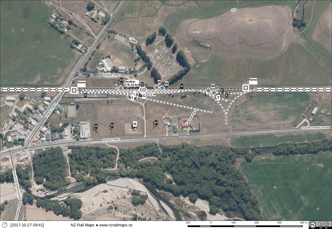
Overview of Omakau. I classify Omakau as a major station on this line. The size of the station building and the existence of the locomotive depot are factors that I take into consideration when determining this.
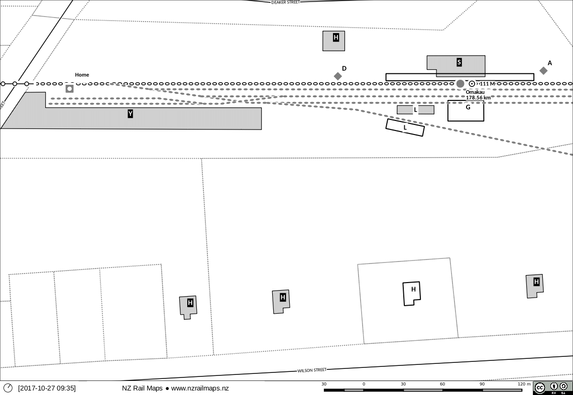
Western end of Omakau station. There were five houses there in 1938, only one remains today. Also gone are the station building, whilst the loading bank was moved sometime between 1965 and 1976 to accommodate a new siding layout. Remaining today are one of the houses, an old tool shed, the station platform, goods shed and loading bank.
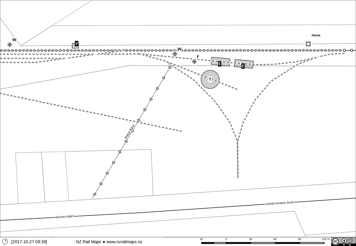
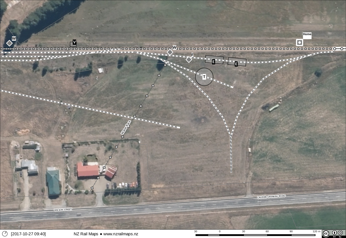
Eastern end of Omakau. There were formerly two water tanks at different locations, one within the locomotive depot area and one closer to the station platform. A water race now filled in probably supplied the water for the locomotive depot tank. A trolley shed used to exist at the far end of the main yard. When Omakau was first built a turntable and two engine sheds were provided for locomotive operating purposes. The second engine shed was probably connected with construction works and was later removed. In 1935 as D&E records on page 64, the triangle replaced the turntable; the empty pit remained for years afterwards and I believe its location can still be picked out in the grass paddocks. The remaining locomotive shed was later removed (leaving the inspection pit in the ground) and the triangle was taken out of use in 1968, although the track was not removed for some years.
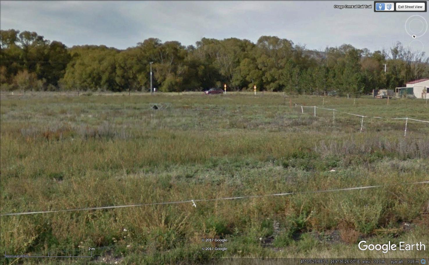
I believe this is likely to be the site of the former turntable pit. It can be picked out on aerial photos, and possibly has not been filled in completely level with the ground.
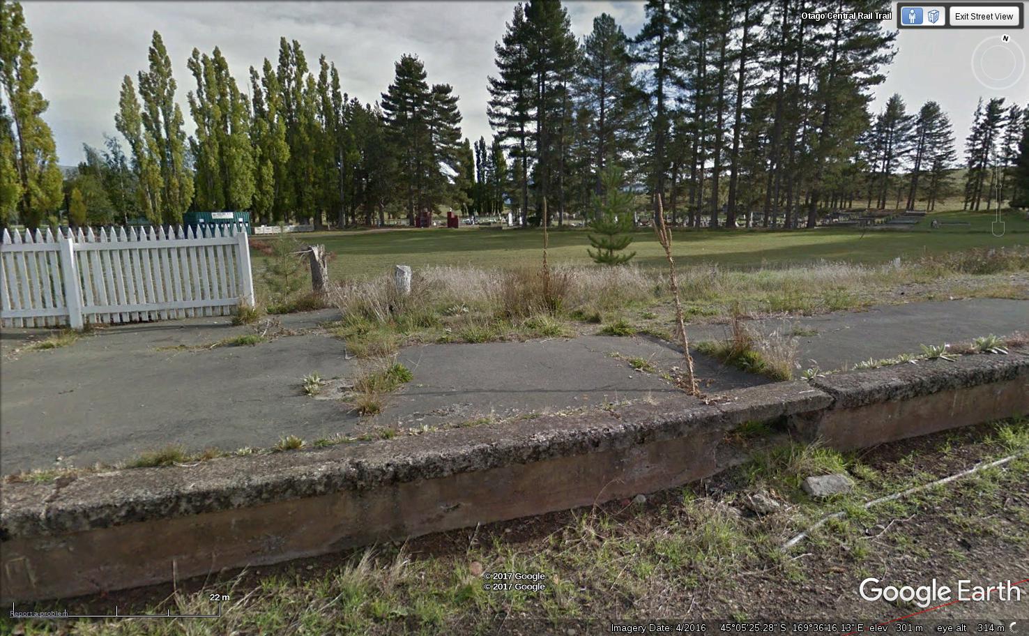
This looks like the 111 milepeg and it is just next to where the signal frame was mounted as there was a tunnel under the platform for the signal wires. In the previous article I wrote (see below) I posted a photo of the two lever signal frame.

