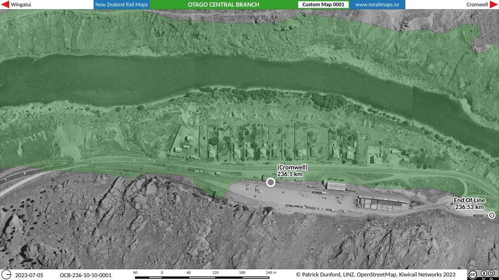
This week, progress in NZRM maps has been slow for a variety of reasons. One of these reasons has been putting time aside to write a report about NZRM for the NZ Cartographic Society’s quadrennial report to the International Cartographic Cartographic Association which will be presented at ICCA’s conference next month. The report submitted for NZRM is a brief single page description of the project to date and the work that has been done to document the 6000 km of NZ rail corridor history from 1863 onwards. This report did include the map shown below as an example of the type of work being done. The full size image of this map was specifically generated at a custom resolution of 400 dpi (the maps are usually produced at 100 dpi) and so if the image below is clicked up, the larger full resolution map will be available for viewing rather than this smaller preview image.

This is an example of a typical aerial map produced by the Project as well as a creative interpretation of the impact of hydro development in the Clyde Dam power scheme of the 1970s in Central Otago. The green in the above shows the area of the local topography that is now underwater as a result of the hydro development. It was emphasised that if you went there today you would not see any actual remnants as the whole site was cleared and extensive earthworks carried out to stabilise the hillsides. The aerial photography used to create this custom map was sourced from a New Zealand Railways survey of 1972.
Getting back to the Midland Line, the main work done earlier in the week was to reorganise Volume 7 which is the new volume number for all maps of the South Island West Coast railway system as well as the Canterbury section of the Midland Line and any branches from that Canterbury section. Later in the week, having decided to prioritise moving ahead with producing the maps for the main line section of the Midland Line, this line is currently being detailed, which entails a final check all along the route that all details of various locations and features are complete and correct. This is the last step before actual map production commences. Apart from the main line maps, a GPX file of all Volume 7 locations will be released at the same time and made available for download, and it will cover all of the locations in Volume 7, not just the Midland Line.
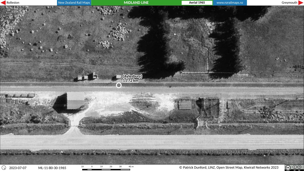
Once the maps of the Midland Line are completed, attention will shift to the rest of Volume 7 particularly the old SWL (now SNL) and its various branches. Aerial photography covering some stations and branches is currently being collated ahead of a request to Linz. However if any aerials are needed for the Midland Line they will have to be given a higher priority. The aim for all these corridors is to try to have aerial coverage of every station along the lines, with the more significant ones having better coverage. This is a step up from previous priorities which were to detail only the major stations; it represents the change which has followed the recent relaxation of scheduling to produce one volume of maps each year. The larger corridor surveys for the SWL and other main lines will soon be copied on an external HDD by Linz staff for NZRM to make use of in map projects; at least 50 such surveys were flown for NZR on the main line corridors in NZ. The Midland Line however in its initial section from Rolleston to Springfield did not have such a survey flown so other surveys have had to be accessed ad hoc to draw the Midland Line maps.

